

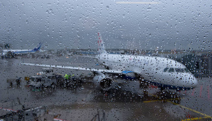
Heavy rain swept across Delhi and several parts of the National Capital Region on Tuesday morning as the India Meteorological Department (IMD) issued a red alert for the capital.
The downpour triggered waterlogging across multiple areas, while dark clouds continued to cover the city.
Flight operations were also affected by the weather. According to flight-tracking platform Flightradar24, 16 flights were cancelled at Delhi’s Indira Gandhi International Airport and more than 115 were delayed. Airport authorities had not issued an official statement on the disruptions at the time of reporting.
Several key locations, including Parliament Street, Connaught Place, AIIMS, ITO, RK Puram and Ferozeshah Road, received heavy rainfall. Water accumulated near the AIIMS flyover loop, slowing traffic, while vehicles struggled through waterlogged stretches of Baba Kharak Singh Marg near Connaught Place.
The IMD said moderate rain was likely across many parts of Delhi, with isolated areas expected to receive heavy to extremely heavy showers. Thunderstorms, lightning and strong winds were also forecast.
The latest spell came a day after intense rainfall brought large parts of Delhi-NCR to a standstill. Major roads were flooded, traffic moved slowly and commuters faced long delays. Gurugram and Noida also reported significant disruption due to waterlogging.
Monday’s weather affected air travel on a larger scale, with 26 flights cancelled, 15 diverted to other cities and more than 390 delayed.
The continued rainfall has pushed Delhi’s seasonal precipitation above normal at several weather stations. As of August 24, Safdarjung had recorded 246.2 mm of rain against a normal 191.1 mm, an excess of 29 per cent. Palam recorded 227.2 mm, which was 28 per cent above normal, while Lodi Road received 233.2 mm, an excess of 22 per cent.
The rainfall surplus was even higher at some other observatories. Ridge recorded 243 mm, 50 per cent above normal, while Ayanagar received 266.3 mm, 66 per cent above its usual rainfall.
The IMD attributed the intense weather to the interaction of a middle- and upper-level western disturbance with a lower-level trough stretching from a low-pressure area over Gangetic West Bengal towards southwest Uttar Pradesh.
Comments are closed.