
Rising Temperatures, Falling Groundwater: Cities Face a Double Threat of Sinking and Rising Seas

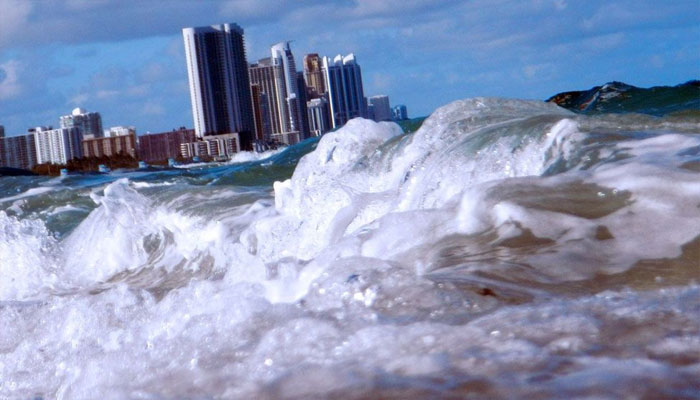
Groundwater is being extracted on a massive scale to meet the growing demand for drinking water in cities across the globe.
This is causing groundwater levels to plummet rapidly and increasing the risk of land subsidence. Meanwhile, sea levels are rising due to climate change. Consequently, coastal cities face a dual threat of inundation. However, Jesse Kears, an expert from Victoria University, believes that groundwater levels can be restored to their former state.
According to their study, fault lines within the Earth could be contributing to this. Fault lines are fractures in the Earth’s upper crust that are typically associated with earthquakes.
Many major cities—ranging from the Indonesian capital, Jakarta, to the Chinese coastal city of Tianjin—are grappling with the impacts of climate change and the indiscriminate extraction of groundwater.
Experts state that Jakarta’s coastal areas are sinking at a rate of approximately 10 centimeters per year. Regarding Tianjin, which has a population of around 15 million, projections suggest that if the city is not saved, 15 percent of its population could face displacement by 2120.
Groundwater is being extracted from areas ranging from San Diego to major Iranian cities much faster than it can be replenished.
Scientists liken underground groundwater storage to a balloon; as water is extracted, the “balloon” deflates, creating a risk of land subsidence. Compounding this issue is the rising sea level, which further threatens coastal cities. Large-scale groundwater extraction between 1920 and 1960 caused water levels in many cities to drop by more than 30 meters.
During this period, the land also subsided by up to two meters. A study conducted in Japan provided crucial insights into groundwater replenishment processes.
The study, which monitored 44 wells in Japan, found that in areas where groundwater levels had previously dropped as low as 500 meters, the water had returned to its original levels by 1985.
These measurements were obtained using Interferometric Synthetic Aperture Radar (InSAR) technology. This method involves repeatedly capturing satellite radar images of the Earth’s surface and correlating them with highly precise Global Navigation Satellite System (GNSS) measurements.
Scientists observed that groundwater levels did not rise at a uniform rate across all cities; cities situated above fault lines experienced more rapid groundwater recharge.
However, the study also indicated that these fault lines could create pathways for groundwater to seep rapidly into deeper layers. Thus, fault lines—often associated with earthquake risks—can also play a significant role in groundwater conservation.
Comments are closed.