
Africa Looks Bigger, Europe and North America Smaller on New UN-Backed World Map; US Votes No

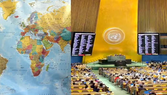
The United Nations General Assembly (UNGA) has adopted a resolution calling for a new approach to world maps that more accurately reflects the relative size of continents, particularly Africa.
The move has drawn opposition from the United States. The resolution, backed by the African Union and titled “Correct the Map,” received support from 164 countries. The United States voted against it, while six countries abstained.
Why Africa Appears Larger
The initiative seeks to move away from the traditional Mercator projection, which can significantly distort the apparent size of regions closer to the poles while making Africa appear smaller relative to other continents.
The Mercator projection was developed by Flemish cartographer Gerardus Mercator in 1569 and was primarily designed for maritime navigation.
The African Union has encouraged countries to adopt equal-area projections, including the Equal Earth projection, in schools, media organisations and international institutions. Such maps are intended to provide a more accurate visual comparison of the actual size of countries and continents.
US Objects to UN Resolution
The United States criticised the move, arguing that the UN should concentrate on more pressing international challenges.
US representative Yaryna Ferencevych questioned the priority given to the issue during the UNGA debate, saying the body should focus on “genuine problems” rather than historical map projections and their links to issues such as reparations and cognitive justice, AFP reported.
African Union Welcomes the Decision
The African Union’s Permanent Observer Mission to the UN welcomed the adoption and congratulated Togo and the African Group for advancing the resolution.
In a post on X, the AU Mission described the measure as an important step towards ensuring that global maps more accurately represent Africa’s geographical scale.
AU Commission Chairperson Mahmoud Ali Youssouf also called the resolution a “significant step forward”.
Togo Says Maps Shape Perception
Togo, which sponsored the resolution, argued that maps influence how people understand the world.
Foreign Minister Robert Dussey said maps play an important role in education and collective perception. He warned that geographical distortions repeated through generations could contribute to inaccurate understandings of the world’s regions.
The resolution therefore calls for wider use of maps that preserve relative area more accurately, particularly in educational and public settings.
Comments are closed.